>Trails
From hiking trails to biking trails, from desert terrain to lush green forests, from easy ten minute walks to challenging overnight hikes...the Columbia River Gorge has something for everyone
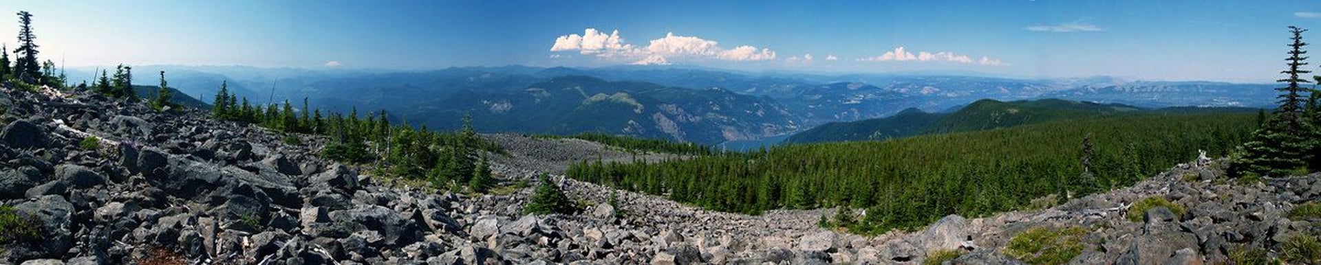
The Columbia River Gorge offers an unusually diverse mix of trails packed into a relatively small area—lush rainforest walks to waterfalls, exposed ridgelines with big river views, wildflower slopes in spring, and quieter routes that climb into higher forests and lakes. Because the Gorge is a nationally protected scenic area with complex terrain and sensitive habitats, access and conditions can vary widely from one trailhead to the next. Some of the best-known hikes are clustered near established corridors and parking areas, while other sections are more remote and require extra planning. Elevation, wind, and microclimates also play a big role here, so the same day can feel wet and cool on one trail and hot and dry on another.
A Reminder...
For anyone contemplating a hike, be prepared when you depart for a hike and ensure you are carrying the proper equipment including a map, compass, flashlight, extra food and water, extra clothing, fire starter, knife, first aid kit and signaling device. A GPS and a cell phone with extra battery. Let someone know your plan and when you expect to return so someone knows if you are overdue.
If you do become lost in the woods, preserve your body heat. Don't lie directly on the ground, make a mattress of pine boughs and/or leaves. Try to find a place out of the rain and wind, but be visible. Staying in place helps searchers locate you as they are searching the area. Carry bright colored clothing you can hang on a tree to attract attention.
Be sure to keep a watch for POSION OAK. To avoid skin contact, wear a long-sleeved shirt and long pants. Immediately wash skin several times with cold water and strong soap if you think you've come in contact with it. Be sure to wash clothing separately from other items.
Copyright Ticklecreek Design - All Rights Reserved
Contact | Disclaimer