Waterfalls_
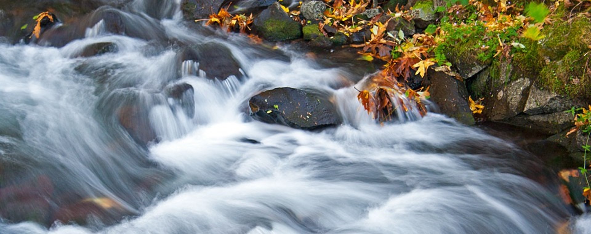
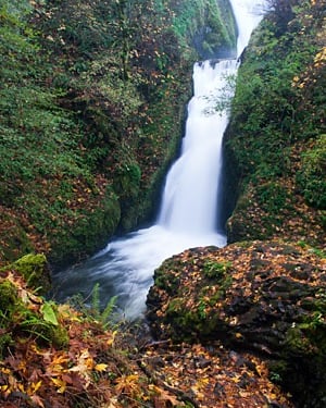
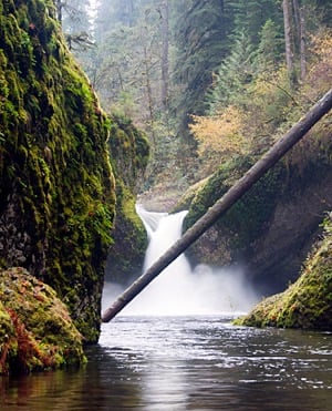
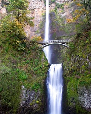
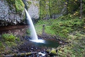
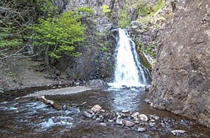
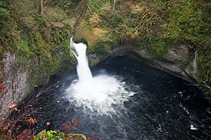
Vertical basalt walls along the Columbia River Gorge are graced with the greatest concentration of waterfalls in North America, particularly along the Oregon side of the western Gorge
Why are there fewer waterfalls on the Washington side of the Columbia River? The Washington side faces south and receives more sunlight, so it's drier. But more importantly, is the geology. The Washington side is an unstable "layer cake" of dense basalt on top of softer, unconsolidated rocks, and the whole assembly tilts to the south as it follows the buried slope of an extinct volcano. Earthquakes and ground saturation have given rise to numerous landslides, which have reduced the slope along the Washington side of the western Gorge. With fewer vertical drops, there are fewer waterfalls.
Note: The regions shown are not officially designated; they are provided for reference and defined using highway milepost ranges. Washington mileposts appear above each region name, and Oregon mileposts appear below. In this section of the Gorge, the Columbia River forms the boundary between Washington and Oregon. Milepost numbers shown in the chart represent the closest highway mile marker and are approximate; used only to help indicate general location. In some cases, the nearest milepost may be past the actual destination and/or be a short distance away from the highway or milepost.
W = West (OR mileposts 19-34, WA mileposts 16-32)
CW = Central West (OR mileposts 34-50, WA mileposts 32-50)
C = Central (OR mileposts 50-65, WA mileposts 50-65)
CE = Central East (OR mileposts 65-84, WA mileposts 65-81)
E = East (OR mileposts 84-100, WA mileposts 81-96)
Waterfall Types


Copyright Ticklecreek Design - All Rights Reserved
Contact | Disclaimer